
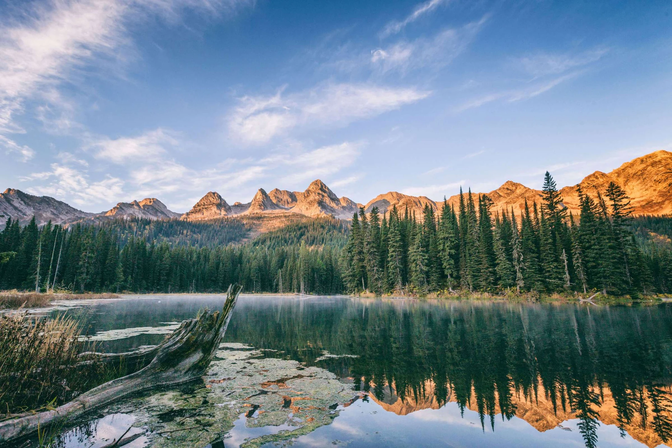
Summer & trails · Island Lake
Tamarack Trail
4 km return to the viewpoint · A climb above Cedar Lodge.
The Tamarack Trail starts near the corner of Cedar Lodge and climbs the southwestern slopes of Mount Fernie through mature larch. A signed viewpoint rewards the climb with Cedar Valley and Lizard Range views.
- Route type: Out-and-back
- Distance: 4 km return to the viewpoint
- Estimated time: About 3 hours
- Elevation gain: 300 m
Plan your trail day
The published trail guide is a planning reference. Allow for your group’s pace, changing weather and seasonal access. Difficult alpine routes require navigation skills and preparation.
View the summer trail map · Download the full trail guide · Summer questions
Trail guide
See the Tamarack Trail route in 3D.
The Tamarack Trail climbs from the corner of Cedar Lodge through mature larch forest on the southwest slopes of Mount Fernie to a viewpoint hanging above the valley. Four kilometres return, about three hours, 300 metres of gain. In autumn the larches turn the whole slope gold. The viewpoint looks out over the Cedar Valley to the Lizard Range; the summit continues onward for those with the legs and the hours.
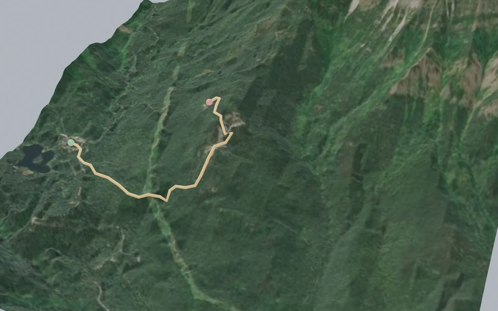
Elevation profile
- Mapped distance
- 2.1 km
- Climbing
- 262 m
- High point
- 1,594 m
Profile sampled from open elevation data along the mapped route; treat distances and climbing as approximate. Distances and times in the trail guide above are the published figures.
Explore Island Lake
Explore the hiking network.
A conversation is the beginning
Who would you
bring here?
Tell us your dates, your group size, and what you have in mind.
Our concierge will help you plan the stay.