
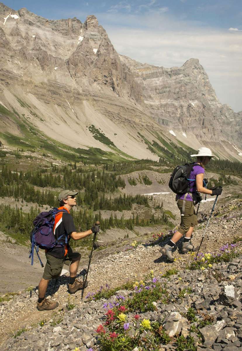
Summer & trails · Island Lake
Heiko’s Trail
22 km one way · A full mountain day from Hartley Lake to Island Lake.
This demanding route links the Hartley Lake area with Island Lake, passing waterfalls, caves, snowfields and mountain passes. It requires strong fitness and navigation. Register any vehicle left at the lodge in advance; when motorized access is unavailable, the guide advises an additional 8 km on foot.
- Route type: Point-to-point traverse
- Distance: 22 km one way
- Estimated time: 8–12 hours
- Elevation gain: 1,371 m
Plan your trail day
The published trail guide is a planning reference. Allow for your group’s pace, changing weather and seasonal access. Difficult alpine routes require navigation skills and preparation.
View the summer trail map · Download the full trail guide · Summer questions
Trail guide
See the Heiko's Trail route in 3D.
Heiko's Trail is the classic Fernie thru-hike: about twenty-two kilometres point to point from the Hartley Creek area to Island Lake Lodge, crossing three passes with waterfalls, Bisaro Cave, and long stretches of high alpine meadow. Most people take eight to twelve hours and arrange a car shuttle, since it finishes at the lodge far from where it starts. Note that only the southern section sits on the Island Lake map, the trail itself is not on lodge property, and it is maintained by the Fernie Trails Alliance. There is no cell service, water is scarce in places, and this is grizzly country, so plan it like a proper expedition.
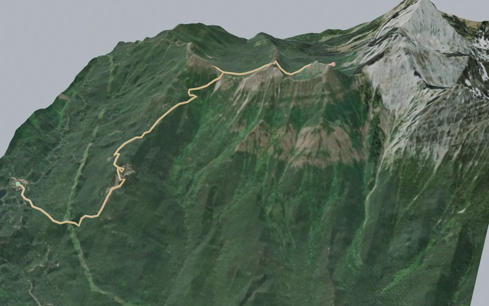
Elevation profile
- Mapped distance
- 5.4 km
- Climbing
- 719 m
- High point
- 1,983 m
Profile sampled from open elevation data along the mapped route; treat distances and climbing as approximate. Distances and times in the trail guide above are the published figures.
Explore Island Lake
Explore the hiking network.
A conversation is the beginning
Who would you
bring here?
Tell us your dates, your group size, and what you have in mind.
Our concierge will help you plan the stay.