
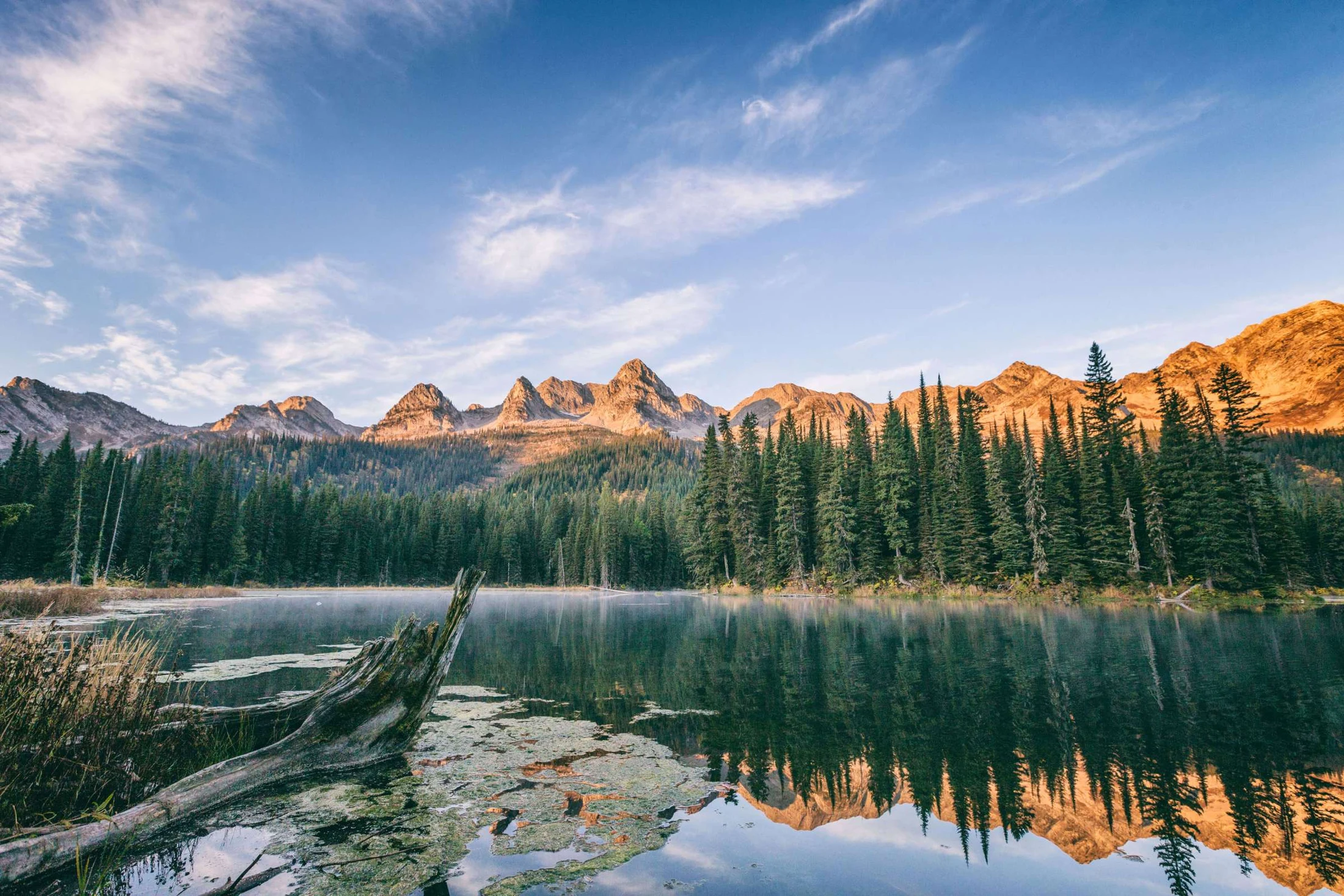
Summer & trails · Island Lake
Goat Pass
An alpine connection in the Island Lake trail network.
Goat Pass appears in the Island Lake trail network. Use the complete trail guide to understand how the route connects to the lake, surrounding trails and alpine terrain. Ask the concierge about the appropriate route for your experience and the season.
- Route type: Point-to-point connection
Plan your trail day
The published trail guide is a planning reference. Allow for your group’s pace, changing weather and seasonal access. Difficult alpine routes require navigation skills and preparation.
View the summer trail map · Download the full trail guide · Summer questions
Trail guide
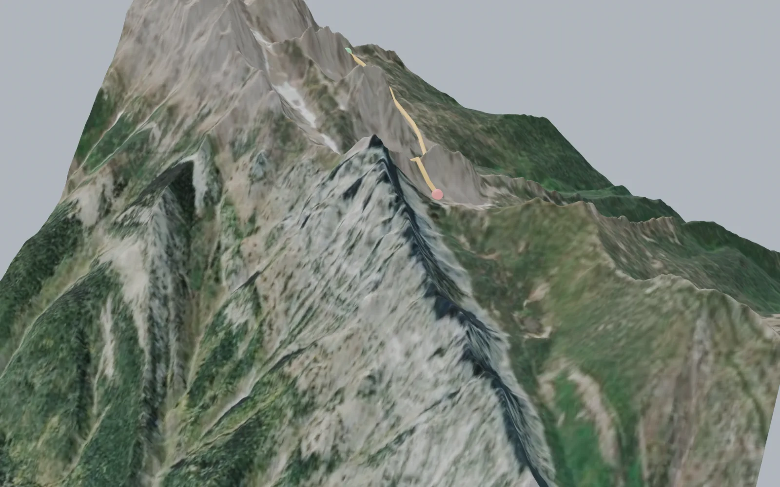
See the Goat Pass route in 3D.
Goat Pass is not a maintained trail so much as a high-country connection for people who already know what they are doing. The route runs unmarked through rugged alpine terrain between the Spineback area and the pass, and the guide deliberately publishes no distance, time, or elevation gain for it. Route finding and proper mountain experience are essential, and most parties go with a guide. Ask at the lodge about conditions and whether a guided day makes sense for your group.
Elevation profile
- Mapped distance
- 1.6 km
- Climbing
- 193 m
- High point
- 1,984 m
Profile sampled from open elevation data along the mapped route; treat distances and climbing as approximate. Distances and times in the trail guide above are the published figures.
Explore Island Lake
Explore the hiking network.
A conversation is the beginning
Who would you
bring here?
Tell us your dates, your group size, and what you have in mind.
Our concierge will help you plan the stay.